To read weather on a lake, combine four signals: the official forecast for your specific marine zone, radar on your phone, what the sky and water are doing right now, and the trend on your instruments. Do that before you launch, then repeat it every 30 minutes while you are out. Nearly every bad day on the water traces back to a gap in one of those four, not to bad luck.
Inland water is less forgiving than open coast. A lake can go from glassy to a squall in under half an hour, the nearest ramp may be a long run from the middle of the basin, and cold water turns a soaking or a capsize into a serious emergency rather than an inconvenience. Here is the routine I use before any trip and the seven checks that make it repeatable.
Table of Contents
- 1What You Need
- 2Step-by-Step: How to Check Conditions Before and During Your Trip
- 3Step 1: Check the Official Forecast and Lake-Specific Details
- 4Step 2: Read Wind Speed, Direction, and Exposure
- 5Step 3: Use Radar and Saturation Trends to Spot Incoming Rain
- 6Step 4: Watch the Sky for Developing Conditions
- 7Step 5: Treat Lightning as the Most Serious Immediate Threat
- 8Step 6: Read Water and Waves as Local Weather Clues
- 9Step 7: Make a Go, Modify, or Postpone Decision
- 10Common Mistakes
- 11Frequently Asked Questions
- 12How can I tell if a storm is approaching my lake?
- 13Is weather radar enough for planning a boating trip?
- 14How far away is lightning when I hear thunder?
- 15What wind speed should small boats avoid on a lake?
- 16How do I read waves and whitecaps while boating?
- 17What should I do if the weather changes while I am on the lake?
What You Need
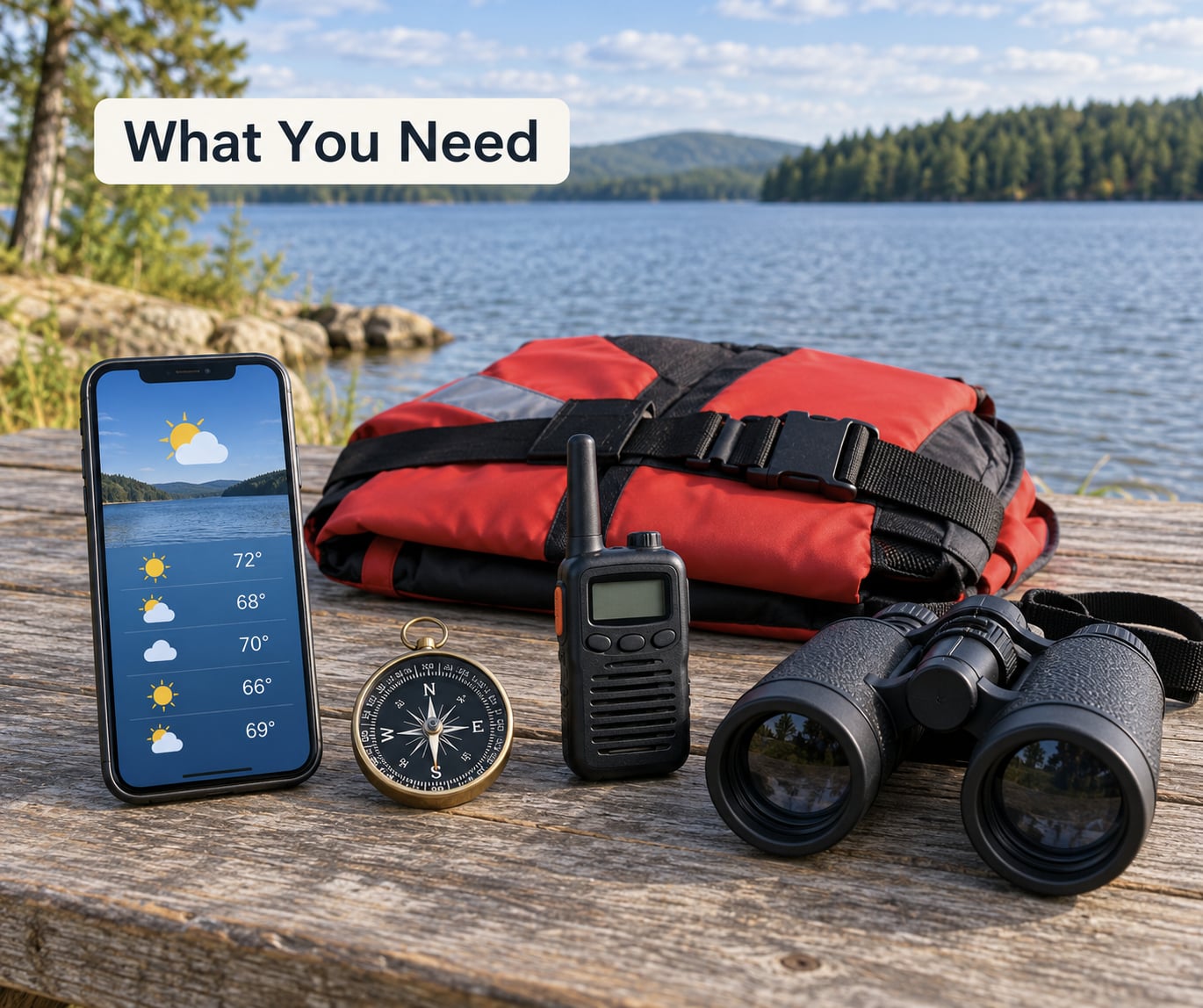
You need less gear than most people think, but each item below fills a specific blind spot. The forecast tells you what is coming to your zone, radar shows you what is already moving, and instruments plus your own eyes tell you whether that forecast still applies to your exact corner of water.
- A forecast for the actual water — the NOAA/NWS marine zone forecast for your lake from weather.gov, not just the airport forecast for the nearest town. Inland zones are broken out separately on the site.
- Radar on your phone — a free national radar loop plus one that shows wind velocity, if you use one, lets you watch cells move instead of guessing.
- A compass or wind meter — knowing the direction the wind is coming from tells you where the waves will grow, and which shoreline is about to be exposed.
- A barometer — many phones, marine radios, and depth finders report pressure trend. Even a kitchen barometer against a house barometer baseline is useful.
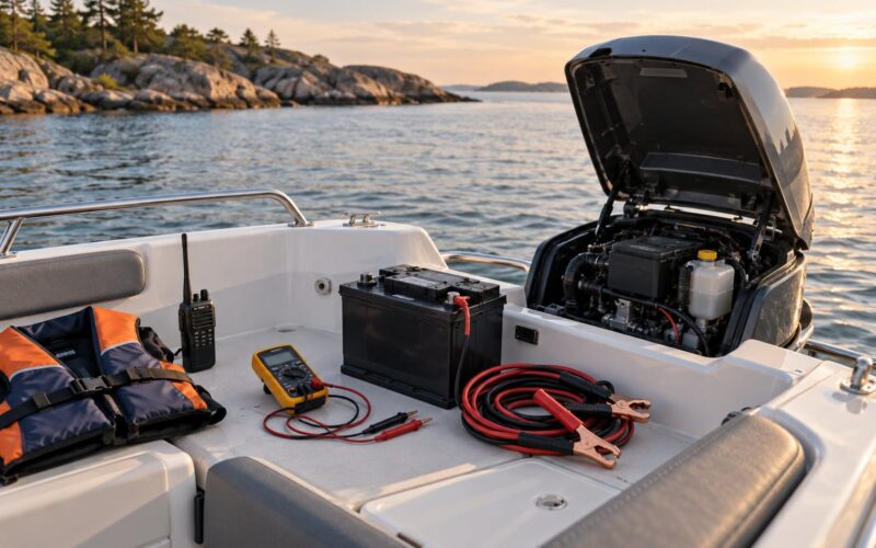
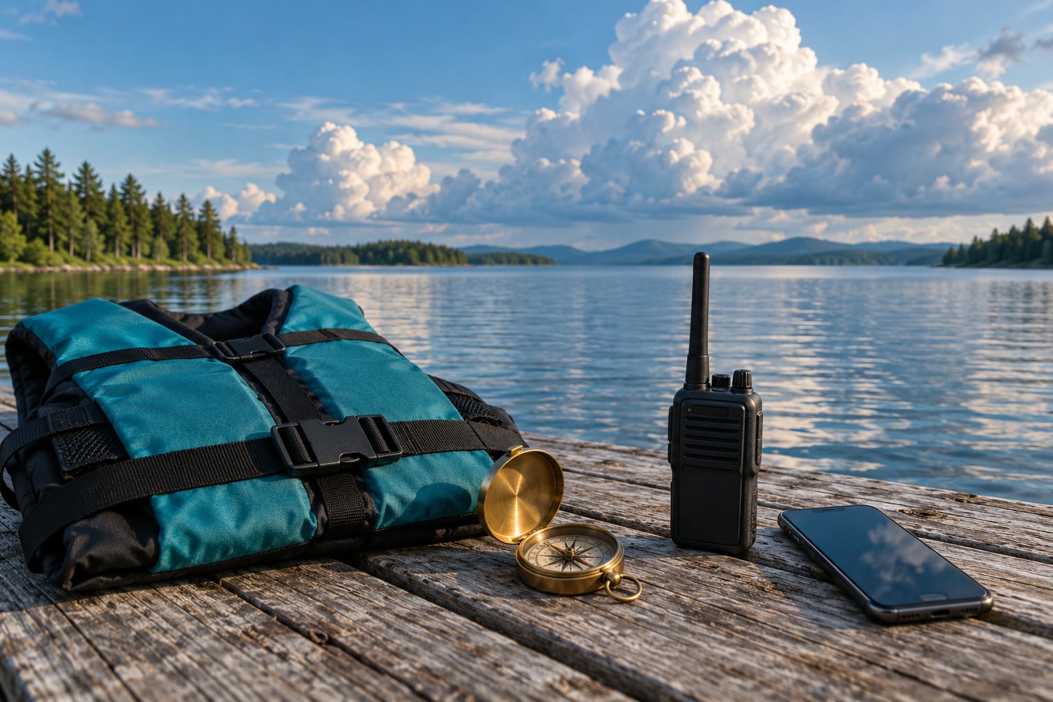
- Safety gear that works when wet — a worn life jacket for everyone aboard, a charged phone in a waterproof case, and a VHF radio or satellite messenger for lakes with no cell coverage.
- An anchor with enough rode — for lakes that hold bottom, a dependable anchor lets you hold position instead of drifting into open water when a storm arrives.
Download the forecast to the lake’s zone before you leave the driveway, since signal at a launch ramp is often poor. Batteries matter more than people expect: cold mornings and wet boats drain electronics faster than they do on shore.
Step-by-Step: How to Check Conditions Before and During Your Trip
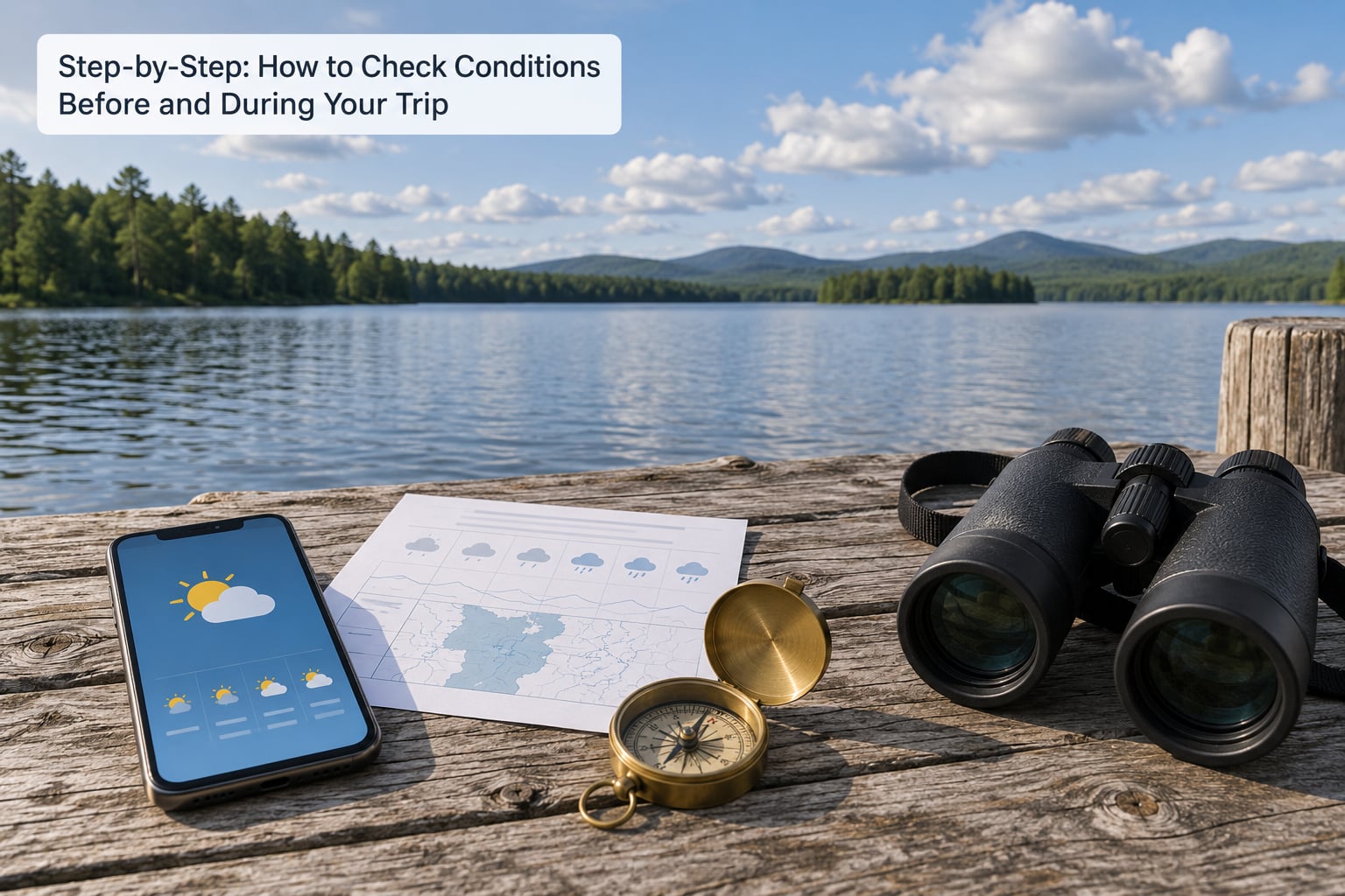
Run these seven checks in order. The first four happen at the dock, the last three happen repeatedly on the water. How to read weather on a lake is a habit built from repetition, not a single glance at an app icon.
Step 1: Check the Official Forecast and Lake-Specific Details
Start with the zone forecast, then read the hourly section rather than the daily summary. Look for four things: sustained wind and gusts, wind direction, thunderstorm or precipitation probability, and any active advisory, watch, or warning for your zone.
The nearest city forecast is often wrong for the lake because it sits ten to forty miles inland, behind hills, or on the wrong side of the ridge that blocks afternoon storms. Find your actual lake in the zone map and read the text for that zone, then note the issue time so you know how stale it is.
How to verify: read two sources with different models. If one shows 15 mph from the northwest and another shows 25 mph from the west, plan for the higher number and the more exposed direction.
Step 2: Read Wind Speed, Direction, and Exposure
Wind matters twice on a lake: how fast it blows, and where it comes from. Marine forecasts quote speed in knots; a knot is about 1.15 mph, so 15 knots is roughly 17 mph. Check which unit your source uses before you compare anything.
Direction sets the shape of the problem. A north wind on a long north-south lake blows straight down a mile of open fetch and builds steep, short-interval chop. The same wind on a small, round, tree-lined pond is broken up by the shoreline and stays manageable. Wind shadow from an island or a point of land can make the far end of a lake dramatically calmer than the near end.
Direction also tells you where to run for shelter. With wind from the northwest, a boat heading to a southwestern cove is running downwind into waves that keep building, while a boat crossing toward the north shore is taking them on the beam and heading toward calmer water.
How to verify: look at the water, not just the number. Whitecaps and a stretched-out wave pattern tell you the wind is stronger than a spot forecast claims for your sheltered corner.
Step 3: Use Radar and Saturation Trends to Spot Incoming Rain
Radar shows where precipitation is right now, which makes it the best tool you have for timing. Light returns are usually lighter rain, green and yellow are moderate to heavy, and red or magenta indicates intense cores. Watch the shape and the movement rather than the color alone.
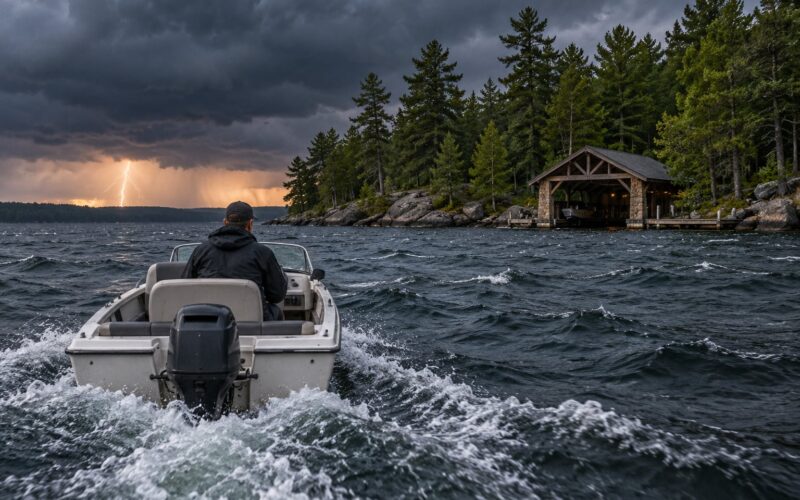
Three patterns matter on a lake: a line or arc of storms sweeping toward you, a single tall cell standing over water, and cells that keep forming in the same place. Each of those can deliver a downdraft when it reaches your lake, even when the rain is light on the far shore.
Radar does not show lightning, wind gusts, or the exact core of a downburst, so a quiet radar screen is not a safety all-clear. Keep watching the sky, and use radar for timing rather than for permission.
How to verify: time how fast the precipitation reaches your shoreline. In summer a cell often covers a small lake in ten to twenty minutes, which is your real budget for getting back.
Step 4: Watch the Sky for Developing Conditions
Fair-weather cumulus with flat bases and rounded tops usually mean a stable afternoon. Small, thin, high clouds often come ahead of a front but rarely produce weather by themselves. The change to watch for is vertical growth: puffy cumulus building upward into towers through a single afternoon is warm, moist air rising and is the most common setup for a lake thunderstorm.
When those towers merge into a cumulonimbus with a flat or fibrous anvil top, a downdraft has already formed. A dark wedge hanging from the base of a storm, known as a shelf cloud, is the leading edge of that outflow. Rain that falls from a blue sky is called virga, and it means the air below is dry enough to evaporate the shower before it lands.
None of these is a clock. Cloud appearance tells you the atmosphere is unstable and the direction it is likely to move, not the exact arrival time.
How to verify: watch for a wind shift, a sudden drop in visibility, or a sharp air temperature drop. Those changes usually arrive before the cloud colour gets dramatic.
Step 5: Treat Lightning as the Most Serious Immediate Threat
Lightning is the hazard that changes your decision fastest. Flash to thunder gives a rough distance: count the seconds between them and divide by five for miles, so a ten-second gap puts the strike around two miles away. The 30/30 rule is a memory aid: if you see lightning and hear thunder thirty seconds later, lightning is within about six miles, and if the gap is under thirty seconds you are inside that range.
Lightning reaches far beyond the storm itself and can cross water with nothing to block it. Do not dangle arms or legs over the side, keep hands and feet inside the boat, and stay away from the water surface. A fiberglass hull does not make you safe, so when thunder becomes continuous or close, leave the water for a substantial building or a hard-topped vehicle.
Watch official warnings rather than guessing from a sky colour. A thunderstorm watch means conditions are favorable for storms, while a warning means take shelter now.
How to verify: if you are still counting seconds between flashes more than thirty seconds after the first one, you are still in range.
Step 6: Read Water and Waves as Local Weather Clues
A dead-calm lake with a clear horizon hours before an afternoon is not always good news. Light surface wind keeps humidity near the water, which is why storms often form over the lake itself when the surrounding land is already under one.
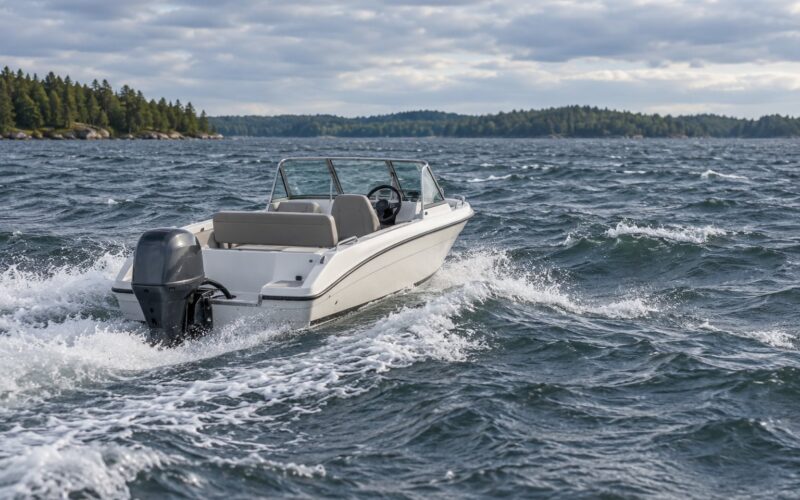
Once the wind picks up, waves tell you the size of the fetch. A short, steep chop means wind blowing across a small stretch, which makes it rougher for your boat length than long, slow swell coming from far away. When wind shifts, leftover waves from the old direction cross the new ones and the surface goes confused and choppy from two directions at once — a strong sign the weather is reorganising rather than settling.
Watch for whitecaps, wind-driven current pushing you sideways or backward, debris appearing on the surface, and water colour changing sharply. Treat all of them as evidence of wind and pressure change above you, not as a prediction of exact conditions.
How to verify: a common yardstick is to stay under roughly one-third of your boat’s length in wave height. That is a starting point for planning, not a guarantee, and a heavily loaded boat or one with a high freeboard behaves differently.
Step 7: Make a Go, Modify, or Postpone Decision
The decision comes down to your boat, your skill, your distance from shelter, and the timing of the threat. The useful move is to set your turn-back time before you leave the ramp, then treat it as fixed no matter how good the fishing is.
For a calm morning forecast with a thunderstorm chance after 2 p.m., modify the plan: launch early, stay on the sheltered side, and be off the water by early afternoon regardless of results. For a front forecast to arrive mid-afternoon on a lake forty minutes from the ramp, modify again: fish inside the twenty-minute window, then leave with a margin rather than trying to beat it.
Postpone when the forecast puts the front at your planned return time with gusts in the upper teens or higher, or when your craft is small, lightly loaded, or unfamiliar. Once you are out and the sky or barometer turns, the choice narrows to head for the nearest sheltered shoreline now or treat it as a developing situation and work toward open water rather than a lee shore, where gusts can push you onto the bank.
Common Mistakes
These are the errors that show up again and again, and each has a simple correction.
Using only the city forecast. Inland points get their own zone, and that zone is the one that matters. Correct it by finding your lake on the NOAA/NWS zone map and saving that page before you leave signal.
Ignoring wind direction. Speed alone does not tell you how rough your lake gets. Correct it by pairing speed with direction and fetch, and check which shoreline will be exposed.
Treating one dark cloud as a storm. Ordinary fair-weather cumulus also cast shade and look grey from underneath. Correct it by watching for vertical growth, an anvil top, and a wind shift instead of darkness alone.
Reading radar colors too literally. Colors describe rain intensity, not wind, gusts, or lightning. Correct it by using radar for timing and the sky for severity.
Waiting to be sure about lightning. Trying to confirm a close strike is what puts you in the water. Correct it by heading ashore as soon as thunder becomes continuous.
Changing the plan without checking what your boat can take. Excitement and caution are both poor inputs. Correct it by matching conditions to hull and boat length before the day, not during it.
A few habits cover most of the rest. Check the zone forecast and radar before you start the truck, not at the ramp. Note the barometer reading at launch so you have a baseline to compare against later. Tell someone your route and your turn-back time. Keep a charged phone in a waterproof case and a working life jacket on every person, including the ones who never wear one because the weather looks fine.
Frequently Asked Questions
How can I tell if a storm is approaching my lake?
Watch for rising cumulus that build into towers, a wind shift or sudden gusts, a falling barometer, chop from two directions at once, a visible rain curtain, and a drop in air temperature. Any two of those together mean a front or a thunderstorm is close. Radar shows you the timing, and how to read weather on a lake depends on matching what you see against what the zone forecast said that morning.
Is weather radar enough for planning a boating trip?
Radar is excellent for timing and terrible for severity. It shows where rain is falling, but not wind gusts, downdrafts, or lightning strikes outside the rain core. Use radar alongside the zone forecast and your own sky watch, and treat a clear radar screen over your lake as a snapshot rather than an all-clear.
How far away is lightning when I hear thunder?
Count the seconds between the flash and the thunder and divide by five for an approximate distance in miles. A ten-second gap puts the strike near two miles. The 30/30 rule is a shortcut: thunder within thirty seconds of the flash means lightning is within about six miles of you, and that is close enough to leave the water.
What wind speed should small boats avoid on a lake?
There is no single safe number, because hull design, freeboard, loading, and operator experience all matter. A useful starting point is to plan conservatively once sustained wind reaches the mid-teens in mph with gusts above 20, and to use one-third of your boat’s length as a rough wave-height ceiling. Check your boat’s own guidance before you rely on any rule.
How do I read waves and whitecaps while boating?
Short, steep chop from one direction means wind blowing across a short fetch. Waves crossing from two directions at once mean the wind has shifted and the lake is confused. Whitecaps that spread across a wide stretch mean the wind is stronger and more established than it appeared in your sheltered launch cove, so shorten your outing and plan your route to shelter.
What should I do if the weather changes while I am on the lake?
Get clear of the exposure first. Leave the water for a substantial building or hard-topped vehicle if lightning is close, and do not wait for confirmation. For wind and waves, move toward open water rather than a lee shore, take waves at an angle instead of straight on, and use the VHF distress channels if you need help. Tell someone your position and your heading.
The habit to build is small. Before you launch, read your lake’s marine zone forecast, look at radar, note the barometer, and set a turn-back time. On the water, repeat those checks every half hour and watch for vertical cloud growth, a wind shift, or a falling barometer. Learn how to read weather on a lake before you need it, because the lake does not care how much you learned last season.